
Thank you for supporting this site ❤️
Make a donation
Make a donation
Les Cabañes topographic map
Click on the map to display elevation.
Thank you for supporting this site ❤️
Make a donation
Make a donation
About this map
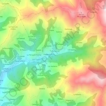
Name: Les Cabañes topographic map, elevation, terrain.
Location: Les Cabañes, Laviana, Asturias, 33970, Spain (43.25893 -5.56241 43.29893 -5.52241)
Average elevation: 610 m
Minimum elevation: 292 m
Maximum elevation: 990 m
Thank you for supporting this site ❤️
Make a donation
Make a donation
Other topographic maps
Click on a map to view its topography, its elevation and its terrain.