
Thank you for supporting this site ❤️
Make a donation
Make a donation
Srengat topographic map
Click on the map to display elevation.
Thank you for supporting this site ❤️
Make a donation
Make a donation
About this map
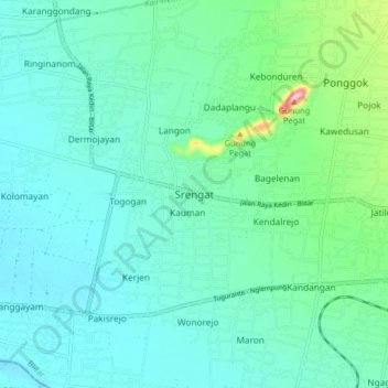
Name: Srengat topographic map, elevation, terrain.
Location: Srengat, Blitar, East Java, Java, 66152, Indonesia (-8.10394 112.03047 -8.02394 112.11047)
Average elevation: 135 m
Minimum elevation: 100 m
Maximum elevation: 299 m
Thank you for supporting this site ❤️
Make a donation
Make a donation