
Thank you for supporting this site ❤️
Make a donation
Make a donation
Maroochy River topographic map
Click on the map to display elevation.
Thank you for supporting this site ❤️
Make a donation
Make a donation
About this map
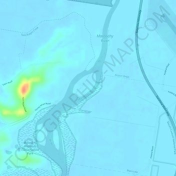
Name: Maroochy River topographic map, elevation, terrain.
Location: Maroochy River, Maroochydore, Queensland, 4564, Australia (-26.59752 153.05668 -26.59156 153.06350)
Average elevation: 3 m
Minimum elevation: -2 m
Maximum elevation: 50 m
Thank you for supporting this site ❤️
Make a donation
Make a donation
Other topographic maps
Click on a map to view its topography, its elevation and its terrain.