
Thank you for supporting this site ❤️
Make a donation
Make a donation
Long Point topographic map
Click on the map to display elevation.
Thank you for supporting this site ❤️
Make a donation
Make a donation
About this map
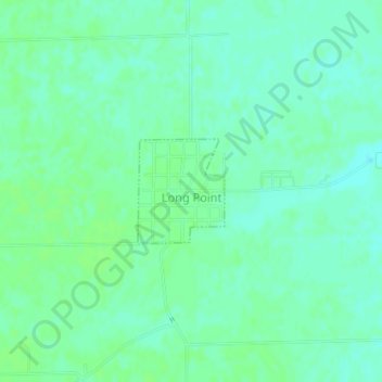
Name: Long Point topographic map, elevation, terrain.
Location: Long Point, Livingston County, Illinois, United States (41.00148 -88.89679 41.00888 -88.88867)
Average elevation: 195 m
Minimum elevation: 190 m
Maximum elevation: 199 m
Thank you for supporting this site ❤️
Make a donation
Make a donation