
Thank you for supporting this site ❤️
Make a donation
Make a donation
تهامة topographic map
Click on the map to display elevation.
Thank you for supporting this site ❤️
Make a donation
Make a donation
About this map
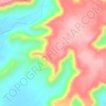
Name: تهامة topographic map, elevation, terrain.
Location: تهامة, Al Jumum, Makkah Region, Saudi Arabia (22.02622 40.02729 22.04622 40.04729)
Average elevation: 797 m
Minimum elevation: 704 m
Maximum elevation: 885 m
Thank you for supporting this site ❤️
Make a donation
Make a donation
Other topographic maps
Click on a map to view its topography, its elevation and its terrain.