
Thank you for supporting this site ❤️
Make a donation
Make a donation
Bryans Road topographic map
Click on the map to display elevation.
Thank you for supporting this site ❤️
Make a donation
Make a donation
About this map
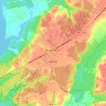
Name: Bryans Road topographic map, elevation, terrain.
Location: Bryans Road, Charles County, Maryland, 20616, United States (38.59341 -77.13155 38.65724 -77.04904)
Average elevation: 32 m
Minimum elevation: -3 m
Maximum elevation: 61 m
Thank you for supporting this site ❤️
Make a donation
Make a donation