
Bray topographic map
Interactive map
Click on the map to display elevation.
About this map
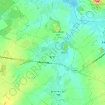
Name: Bray topographic map, elevation, terrain.
Location: Bray, Binche, La Louvière, Henegouwen, Wallonië, België (50.42119 4.05597 50.44233 4.13392)
Average elevation: 73 m
Minimum elevation: 44 m
Maximum elevation: 148 m