
Thank you for supporting this site ❤️
Make a donation
Make a donation
Al Sdir topographic map
Click on the map to display elevation.
Thank you for supporting this site ❤️
Make a donation
Make a donation
About this map
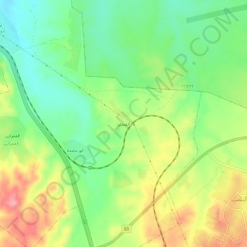
Name: Al Sdir topographic map, elevation, terrain.
Location: Al Sdir, Beersheba Subdistrict, South District, Israel (31.14977 34.96954 31.18977 35.00954)
Average elevation: 415 m
Minimum elevation: 368 m
Maximum elevation: 479 m
Thank you for supporting this site ❤️
Make a donation
Make a donation