
Thank you for supporting this site ❤️
Make a donation
Make a donation
السرو topographic map
Click on the map to display elevation.
Thank you for supporting this site ❤️
Make a donation
Make a donation
About this map
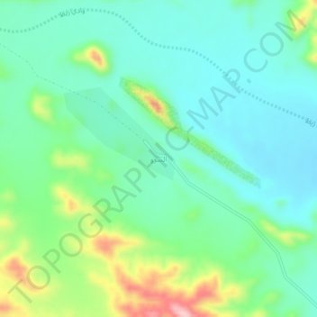
Name: السرو topographic map, elevation, terrain.
Location: السرو, Tabuk Governorate, Tabuk Province, Saudi Arabia (28.39568 35.51751 28.43568 35.55751)
Average elevation: 1,170 m
Minimum elevation: 1,116 m
Maximum elevation: 1,315 m
Thank you for supporting this site ❤️
Make a donation
Make a donation
Other topographic maps
Click on a map to view its topography, its elevation and its terrain.