
Thank you for supporting this site ❤️
Make a donation
Make a donation
Haypoint topographic map
Click on the map to display elevation.
Thank you for supporting this site ❤️
Make a donation
Make a donation
About this map
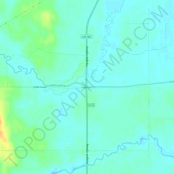
Name: Haypoint topographic map, elevation, terrain.
Location: Haypoint, Aitkin County, Minnesota, United States (46.87968 -93.63384 46.91968 -93.59384)
Average elevation: 390 m
Minimum elevation: 383 m
Maximum elevation: 413 m
Thank you for supporting this site ❤️
Make a donation
Make a donation