
Strawberry Hill Arboretum topographic map
Interactive map
Click on the map to display elevation.
About this map
Name: Strawberry Hill Arboretum topographic map, elevation, terrain.
Average elevation: 990 m
Minimum elevation: 940 m
Maximum elevation: 1,100 m
Other topographic maps
Click on a map to view its topography, its elevation and its terrain.
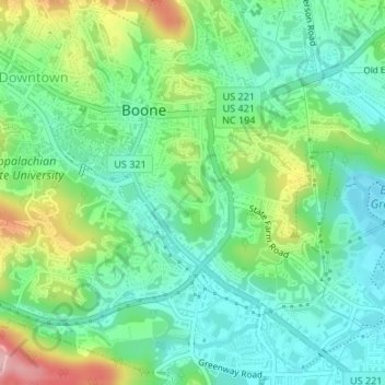
Boone
United States > North Carolina > Watauga County > Boone > Boone
Boone, Watauga County, North Carolina, 28607-1017, United States
Average elevation: 977 m