
Thank you for supporting this site ❤️
Make a donation
Make a donation
El Pontarrón topographic map
Click on the map to display elevation.
Thank you for supporting this site ❤️
Make a donation
Make a donation
About this map
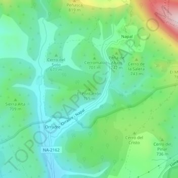
Name: El Pontarrón topographic map, elevation, terrain.
Location: El Pontarrón, Romanzado, Comarca de Sangüesa, Navarra, España (42.70390 -1.21536 42.70400 -1.21526)
Average elevation: 678 m
Minimum elevation: 557 m
Maximum elevation: 995 m
Thank you for supporting this site ❤️
Make a donation
Make a donation
Other topographic maps
Click on a map to view its topography, its elevation and its terrain.