
Thank you for supporting this site ❤️
Make a donation
Make a donation
El Espartal topographic map
Click on the map to display elevation.
Thank you for supporting this site ❤️
Make a donation
Make a donation
About this map
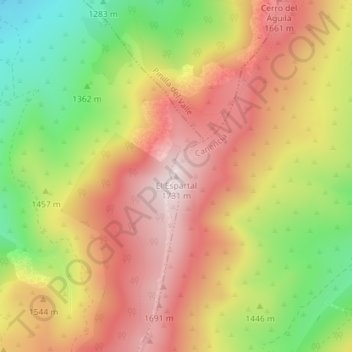
Name: El Espartal topographic map, elevation, terrain.
Location: El Espartal, Canencia, Comunidad de Madrid, 28749, España (40.88770 -3.80893 40.88780 -3.80883)
Average elevation: 1,487 m
Minimum elevation: 1,189 m
Maximum elevation: 1,731 m
Thank you for supporting this site ❤️
Make a donation
Make a donation