
Christinendorf topographic map
Interactive map
Click on the map to display elevation.
About this map
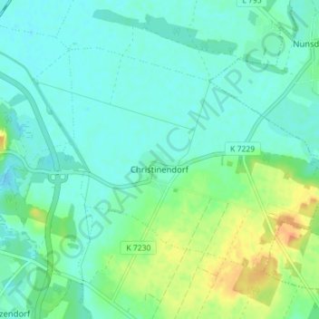
Name: Christinendorf topographic map, elevation, terrain.
Average elevation: 43 m
Minimum elevation: 33 m
Maximum elevation: 69 m
Wohnplätze Ebelshof | Eichenhof | Finkenberg | Forsthaus Altlenzburg | Forsthaus Lenzburg | Freie-Scholle-Siedlung | Kolonie Thyrow | Paulshöhe | Plantage | Priedel | Schönblick | Seeblick | Ziegelei