
Thank you for supporting this site ❤️
Make a donation
Make a donation
Hovens Odde topographic map
Click on the map to display elevation.
Thank you for supporting this site ❤️
Make a donation
Make a donation
About this map
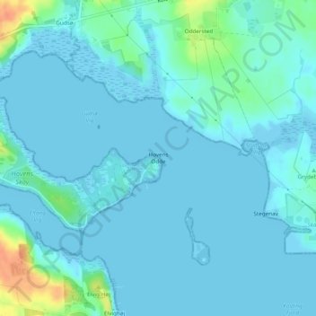
Name: Hovens Odde topographic map, elevation, terrain.
Location: Hovens Odde, Kolding, Kolding Municipality, Denmark (55.51848 9.58891 55.51858 9.58901)
Average elevation: 6 m
Minimum elevation: -2 m
Maximum elevation: 39 m
Thank you for supporting this site ❤️
Make a donation
Make a donation