
Thank you for supporting this site ❤️
Make a donation
Make a donation
Lebanon topographic map
Click on the map to display elevation.
Thank you for supporting this site ❤️
Make a donation
Make a donation
About this map
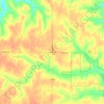
Name: Lebanon topographic map, elevation, terrain.
Location: Lebanon, Van Buren County, Iowa, United States (40.70586 -92.10240 40.74586 -92.06240)
Average elevation: 233 m
Minimum elevation: 205 m
Maximum elevation: 245 m
Thank you for supporting this site ❤️
Make a donation
Make a donation