
Thank you for supporting this site ❤️
Make a donation
Make a donation
aneriya topographic map
Click on the map to display elevation.
Thank you for supporting this site ❤️
Make a donation
Make a donation
About this map
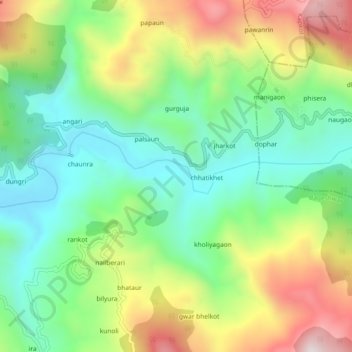
Name: aneriya topographic map, elevation, terrain.
Location: aneriya, Bageshwar, Uttarakhand, 263619, India (29.85158 79.85237 29.89158 79.89237)
Average elevation: 1,303 m
Minimum elevation: 1,029 m
Maximum elevation: 1,758 m
Thank you for supporting this site ❤️
Make a donation
Make a donation