
Thank you for supporting this site ❤️
Make a donation
Make a donation
Sesser topographic map
Click on the map to display elevation.
Thank you for supporting this site ❤️
Make a donation
Make a donation
About this map
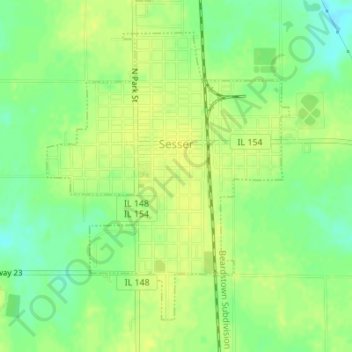
Name: Sesser topographic map, elevation, terrain.
Location: Sesser, Franklin County, Illinois, United States (38.07820 -89.06295 38.10025 -89.03933)
Average elevation: 142 m
Minimum elevation: 130 m
Maximum elevation: 149 m
Thank you for supporting this site ❤️
Make a donation
Make a donation