
Thank you for supporting this site ❤️
Make a donation
Make a donation
Rectory topographic map
Click on the map to display elevation.
Thank you for supporting this site ❤️
Make a donation
Make a donation
About this map
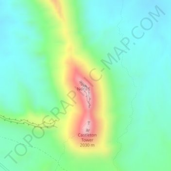
Name: Rectory topographic map, elevation, terrain.
Location: Rectory, Grand County, Utah, United States (38.65825 -109.36827 38.65835 -109.36817)
Average elevation: 1,527 m
Minimum elevation: 1,370 m
Maximum elevation: 1,935 m
Thank you for supporting this site ❤️
Make a donation
Make a donation
Other topographic maps
Click on a map to view its topography, its elevation and its terrain.