
Thank you for supporting this site ❤️
Make a donation
Make a donation
Tarn topographic map
Click on the map to display elevation.
Thank you for supporting this site ❤️
Make a donation
Make a donation
About this map
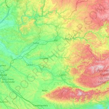
Name: Tarn topographic map, elevation, terrain.
Location: Tarn, Occitania, Metropolitan France, France (43.38283 1.53530 44.20148 2.93726)
Average elevation: 378 m
Minimum elevation: 49 m
Maximum elevation: 1,252 m
Thank you for supporting this site ❤️
Make a donation
Make a donation