
Thank you for supporting this site ❤️
Make a donation
Make a donation
Koolo-buwanyi topographic map
Click on the map to display elevation.
Thank you for supporting this site ❤️
Make a donation
Make a donation
About this map
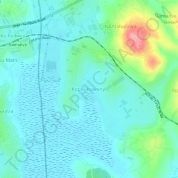
Name: Koolo-buwanyi topographic map, elevation, terrain.
Location: Koolo-buwanyi, Mukono, Central Region, Uganda (0.32047 32.67457 0.36047 32.71457)
Average elevation: 1,154 m
Minimum elevation: 1,133 m
Maximum elevation: 1,237 m
Thank you for supporting this site ❤️
Make a donation
Make a donation