
飞仙关镇 topographic map
Interactive map
Click on the map to display elevation.
About this map
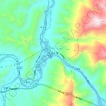
Name: 飞仙关镇 topographic map, elevation, terrain.
Location: 飞仙关镇, 芦山县, 雅安市, 四川省, 中国 (29.98732 102.85409 30.06732 102.93409)
Average elevation: 936 m
Minimum elevation: 586 m
Maximum elevation: 1,857 m
Other topographic maps
Click on a map to view its topography, its elevation and its terrain.