
江南镇 topographic map
Interactive map
Click on the map to display elevation.
About this map
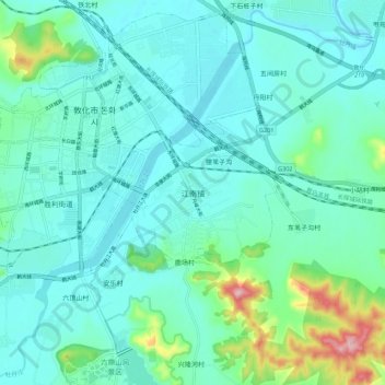
Name: 江南镇 topographic map, elevation, terrain.
Location: 江南镇, 敦化市, 延边朝鲜族自治州, 吉林省, 中国 (43.31253 128.21494 43.39253 128.29494)
Average elevation: 521 m
Minimum elevation: 488 m
Maximum elevation: 675 m
Other topographic maps
Click on a map to view its topography, its elevation and its terrain.