
Thank you for supporting this site ❤️
Make a donation
Make a donation
Nyalindung topographic map
Click on the map to display elevation.
Thank you for supporting this site ❤️
Make a donation
Make a donation
About this map
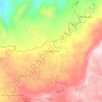
Name: Nyalindung topographic map, elevation, terrain.
Location: Nyalindung, Sukabumi, West Java, Java, 43265, Indonesia (-7.05214 106.92287 -7.01214 106.96287)
Average elevation: 870 m
Minimum elevation: 525 m
Maximum elevation: 1,103 m
Thank you for supporting this site ❤️
Make a donation
Make a donation