
Thank you for supporting this site ❤️
Make a donation
Make a donation
Waardamme topographic map
Click on the map to display elevation.
Thank you for supporting this site ❤️
Make a donation
Make a donation
About this map
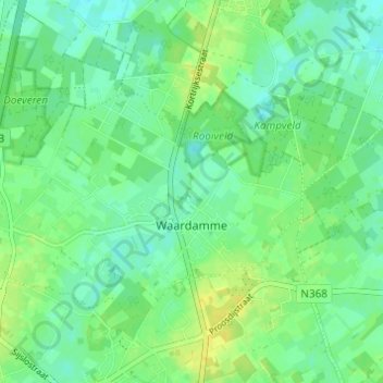
Name: Waardamme topographic map, elevation, terrain.
Location: Waardamme, Oostkamp, Brugge, West Flanders, Flanders, Belgium (51.10297 3.17904 51.12852 3.23999)
Average elevation: 13 m
Minimum elevation: 5 m
Maximum elevation: 24 m
Thank you for supporting this site ❤️
Make a donation
Make a donation
Other topographic maps
Click on a map to view its topography, its elevation and its terrain.