
Thank you for supporting this site ❤️
Make a donation
Make a donation
Fannrem topographic map
Click on the map to display elevation.
Thank you for supporting this site ❤️
Make a donation
Make a donation
About this map
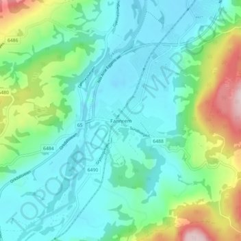
Name: Fannrem topographic map, elevation, terrain.
Location: Fannrem, Orkland, Trøndelag, 7310, Norway (63.24593 9.79404 63.28593 9.83404)
Average elevation: 77 m
Minimum elevation: -7 m
Maximum elevation: 328 m
Thank you for supporting this site ❤️
Make a donation
Make a donation
Other topographic maps
Click on a map to view its topography, its elevation and its terrain.