
Thank you for supporting this site ❤️
Make a donation
Make a donation
Garnett topographic map
Click on the map to display elevation.
Thank you for supporting this site ❤️
Make a donation
Make a donation
About this map
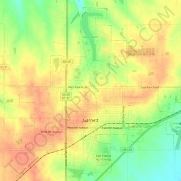
Name: Garnett topographic map, elevation, terrain.
Location: Garnett, Anderson County, Kansas, United States (38.26800 -95.26298 38.30679 -95.20947)
Average elevation: 320 m
Minimum elevation: 290 m
Maximum elevation: 338 m
Thank you for supporting this site ❤️
Make a donation
Make a donation
Other topographic maps
Click on a map to view its topography, its elevation and its terrain.