
Thank you for supporting this site ❤️
Make a donation
Make a donation
Minersville topographic map
Click on the map to display elevation.
Thank you for supporting this site ❤️
Make a donation
Make a donation
About this map
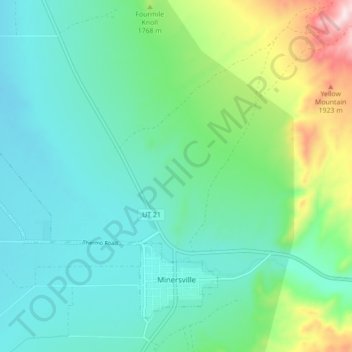
Name: Minersville topographic map, elevation, terrain.
Location: Minersville, Beaver County, Utah, 84752, United States (38.20672 -113.00087 38.26193 -112.91335)
Average elevation: 1,685 m
Minimum elevation: 1,573 m
Maximum elevation: 2,058 m
Thank you for supporting this site ❤️
Make a donation
Make a donation
Other topographic maps
Click on a map to view its topography, its elevation and its terrain.