
Thank you for supporting this site ❤️
Make a donation
Make a donation
Waasmont topographic map
Click on the map to display elevation.
Thank you for supporting this site ❤️
Make a donation
Make a donation
About this map
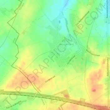
Name: Waasmont topographic map, elevation, terrain.
Location: Waasmont, Landen, Leuven, Flemish Brabant, Flanders, Belgium (50.71461 5.04401 50.73757 5.07941)
Average elevation: 100 m
Minimum elevation: 76 m
Maximum elevation: 121 m
Thank you for supporting this site ❤️
Make a donation
Make a donation