
Rexham topographic map
Click on the map to display elevation.
About this map
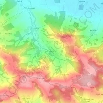
Name: Rexham topographic map, elevation, terrain.
Location: Rexham, Scharten, Bezirk Eferding, 4612, Austria (48.23801 14.02035 48.27801 14.06035)
Average elevation: 359 m
Minimum elevation: 263 m
Maximum elevation: 457 m