
Thank you for supporting this site ❤️
Make a donation
Make a donation
Exeter Township topographic map
Click on the map to display elevation.
Thank you for supporting this site ❤️
Make a donation
Make a donation
About this map
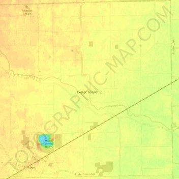
Name: Exeter Township topographic map, elevation, terrain.
Location: Exeter Township, Monroe County, Michigan, United States (41.99883 -83.53940 42.08778 -83.41900)
Average elevation: 192 m
Minimum elevation: 167 m
Maximum elevation: 202 m
Thank you for supporting this site ❤️
Make a donation
Make a donation
Other topographic maps
Click on a map to view its topography, its elevation and its terrain.
Berlin Township
United States > Michigan > Monroe County > Berlin Township > Berlin Township
Average elevation: 177 m