
Thank you for supporting this site ❤️
Make a donation
Make a donation
Rose Township topographic map
Click on the map to display elevation.
Thank you for supporting this site ❤️
Make a donation
Make a donation
About this map
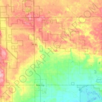
Name: Rose Township topographic map, elevation, terrain.
Location: Rose Township, Ogemaw County, Michigan, 48654, United States (44.42115 -84.18820 44.50881 -84.00533)
Average elevation: 352 m
Minimum elevation: 259 m
Maximum elevation: 451 m
Thank you for supporting this site ❤️
Make a donation
Make a donation
Other topographic maps
Click on a map to view its topography, its elevation and its terrain.