
Thank you for supporting this site ❤️
Make a donation
Make a donation
Epson topographic map
Click on the map to display elevation.
Thank you for supporting this site ❤️
Make a donation
Make a donation
About this map
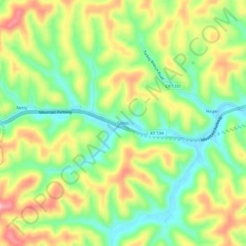
Name: Epson topographic map, elevation, terrain.
Location: Epson, Magoffin County, Kentucky, United States (37.72454 -83.23768 37.76454 -83.19768)
Average elevation: 322 m
Minimum elevation: 254 m
Maximum elevation: 407 m
Thank you for supporting this site ❤️
Make a donation
Make a donation