
Rinteln topographic map
Interactive map
Click on the map to display elevation.
About this map
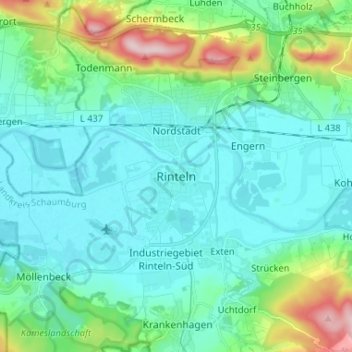
Name: Rinteln topographic map, elevation, terrain.
Location: Rinteln, Landkreis Schaumburg, Nedersaksen, 31737, Duitsland (52.14738 9.04046 52.22738 9.12046)
Average elevation: 101 m
Minimum elevation: 49 m
Maximum elevation: 311 m