
Thank you for supporting this site ❤️
Make a donation
Make a donation
Mary Esther topographic map
Click on the map to display elevation.
Thank you for supporting this site ❤️
Make a donation
Make a donation
About this map
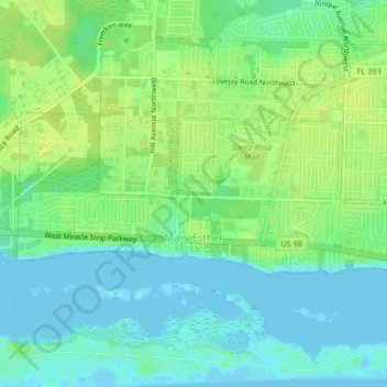
Name: Mary Esther topographic map, elevation, terrain.
Location: Mary Esther, Okaloosa County, Florida, United States (30.40644 -86.68184 30.42136 -86.64079)
Average elevation: 8 m
Minimum elevation: -6 m
Maximum elevation: 17 m
Thank you for supporting this site ❤️
Make a donation
Make a donation
Other topographic maps
Click on a map to view its topography, its elevation and its terrain.