
Thank you for supporting this site ❤️
Make a donation
Make a donation
Hidden Falls topographic map
Click on the map to display elevation.
Thank you for supporting this site ❤️
Make a donation
Make a donation
About this map
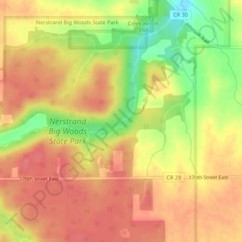
Name: Hidden Falls topographic map, elevation, terrain.
Location: Hidden Falls, Rice County, Minnesota, 55053, United States (44.34796 -93.10287 44.34806 -93.10277)
Average elevation: 353 m
Minimum elevation: 307 m
Maximum elevation: 377 m
Thank you for supporting this site ❤️
Make a donation
Make a donation
Other topographic maps
Click on a map to view its topography, its elevation and its terrain.