
Thank you for supporting this site ❤️
Make a donation
Make a donation
Talihina topographic map
Click on the map to display elevation.
Thank you for supporting this site ❤️
Make a donation
Make a donation
About this map
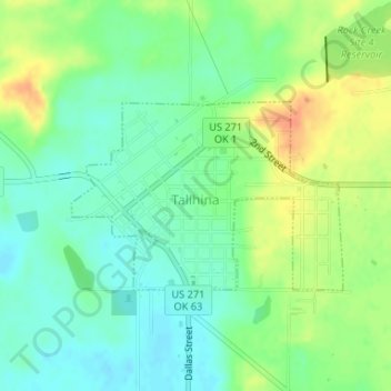
Name: Talihina topographic map, elevation, terrain.
Location: Talihina, LeFlore County, Oklahoma, United States (34.74613 -95.05234 34.75921 -95.02951)
Average elevation: 217 m
Minimum elevation: 201 m
Maximum elevation: 241 m
Thank you for supporting this site ❤️
Make a donation
Make a donation
Other topographic maps
Click on a map to view its topography, its elevation and its terrain.