
Thank you for supporting this site ❤️
Make a donation
Make a donation
Forest Hill topographic map
Click on the map to display elevation.
Thank you for supporting this site ❤️
Make a donation
Make a donation
About this map
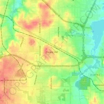
Name: Forest Hill topographic map, elevation, terrain.
Location: Forest Hill, Tarrant County, Texas, 76119, United States (32.63208 -97.30918 32.71208 -97.22918)
Average elevation: 195 m
Minimum elevation: 165 m
Maximum elevation: 225 m
Thank you for supporting this site ❤️
Make a donation
Make a donation