
Thank you for supporting this site ❤️
Make a donation
Make a donation
Mill Point topographic map
Click on the map to display elevation.
Thank you for supporting this site ❤️
Make a donation
Make a donation
About this map
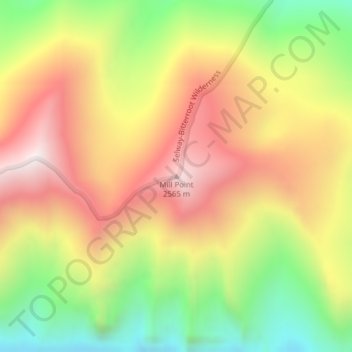
Name: Mill Point topographic map, elevation, terrain.
Location: Mill Point, Ravalli County, Montana, United States (46.29015 -114.27931 46.29025 -114.27921)
Average elevation: 2,129 m
Minimum elevation: 1,626 m
Maximum elevation: 2,600 m
Thank you for supporting this site ❤️
Make a donation
Make a donation