
Thank you for supporting this site ❤️
Make a donation
Make a donation
Bay Park topographic map
Click on the map to display elevation.
Thank you for supporting this site ❤️
Make a donation
Make a donation
About this map
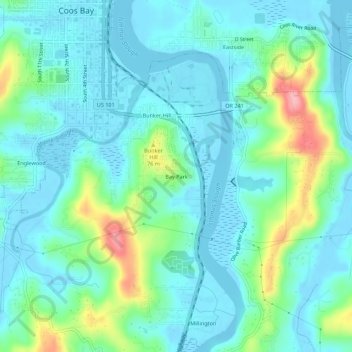
Name: Bay Park topographic map, elevation, terrain.
Location: Bay Park, Coos County, Oregon, 870, United States (43.32900 -124.22179 43.36900 -124.18179)
Average elevation: 27 m
Minimum elevation: -4 m
Maximum elevation: 124 m
Thank you for supporting this site ❤️
Make a donation
Make a donation