
Chail topographic map
Click on the map to display elevation.
About this map
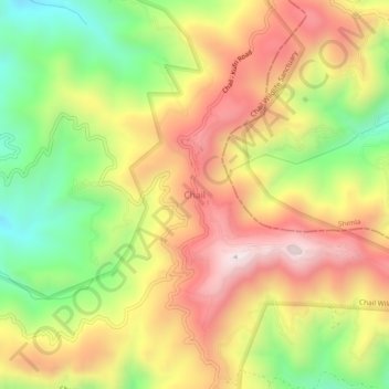
Name: Chail topographic map, elevation, terrain.
Location: Chail, Kandaghat, Solan, Himachal Pradesh, 173217, India (30.94891 77.17819 30.98891 77.21819)
Average elevation: 1,874 m
Minimum elevation: 1,489 m
Maximum elevation: 2,238 m
Other topographic maps
Click on a map to view its topography, its elevation and its terrain.