
Thank you for supporting this site ❤️
Make a donation
Make a donation
Um Dafuq topographic map
Click on the map to display elevation.
Thank you for supporting this site ❤️
Make a donation
Make a donation
About this map
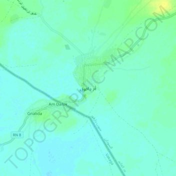
Name: Um Dafuq topographic map, elevation, terrain.
Location: Um Dafuq, Id El Ghanem, Sudan (10.43226 23.26596 10.51226 23.34596)
Average elevation: 483 m
Minimum elevation: 479 m
Maximum elevation: 494 m
Thank you for supporting this site ❤️
Make a donation
Make a donation