
Thank you for supporting this site ❤️
Make a donation
Make a donation
Al Sir topographic map
Click on the map to display elevation.
Thank you for supporting this site ❤️
Make a donation
Make a donation
About this map
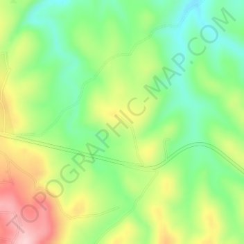
Name: Al Sir topographic map, elevation, terrain.
Location: Al Sir, Tafilah, Jordan (30.82333 35.67333 30.84333 35.69333)
Average elevation: 1,187 m
Minimum elevation: 1,103 m
Maximum elevation: 1,305 m
Thank you for supporting this site ❤️
Make a donation
Make a donation
Other topographic maps
Click on a map to view its topography, its elevation and its terrain.