
Thank you for supporting this site ❤️
Make a donation
Make a donation
Crows topographic map
Click on the map to display elevation.
Thank you for supporting this site ❤️
Make a donation
Make a donation
About this map
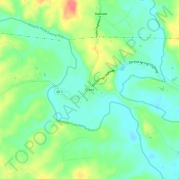
Name: Crows topographic map, elevation, terrain.
Location: Crows, Saline County, Arkansas, United States (34.59426 -92.78933 34.63426 -92.74933)
Average elevation: 130 m
Minimum elevation: 107 m
Maximum elevation: 173 m
Thank you for supporting this site ❤️
Make a donation
Make a donation
Other topographic maps
Click on a map to view its topography, its elevation and its terrain.