
Thank you for supporting this site ❤️
Make a donation
Make a donation
Rantau Panjang topographic map
Click on the map to display elevation.
Thank you for supporting this site ❤️
Make a donation
Make a donation
About this map
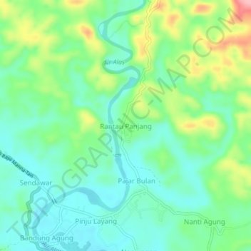
Name: Rantau Panjang topographic map, elevation, terrain.
Location: Rantau Panjang, Seluma, Bengkulu, Sumatra, Indonesia (-4.25401 102.77749 -4.21401 102.81749)
Average elevation: 58 m
Minimum elevation: 16 m
Maximum elevation: 151 m
Thank you for supporting this site ❤️
Make a donation
Make a donation
Other topographic maps
Click on a map to view its topography, its elevation and its terrain.