
Thank you for supporting this site ❤️
Make a donation
Make a donation
Waytina topographic map
Click on the map to display elevation.
Thank you for supporting this site ❤️
Make a donation
Make a donation
About this map
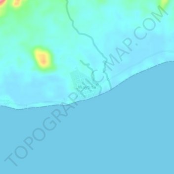
Name: Waytina topographic map, elevation, terrain.
Location: Waytina, Sula Islands, North Maluku, Maluku, Indonesia (-1.93395 125.96402 -1.89395 126.00402)
Average elevation: 7 m
Minimum elevation: -1 m
Maximum elevation: 102 m
Thank you for supporting this site ❤️
Make a donation
Make a donation