
Thank you for supporting this site ❤️
Make a donation
Make a donation
Platar topographic map
Click on the map to display elevation.
Thank you for supporting this site ❤️
Make a donation
Make a donation
About this map
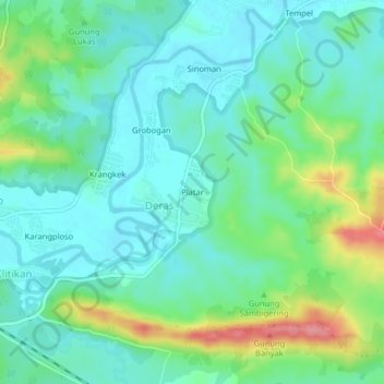
Name: Platar topographic map, elevation, terrain.
Location: Platar, Deras, Grobogan, Central Java, Java, Indonesia (-7.17159 110.64498 -7.13159 110.68498)
Average elevation: 49 m
Minimum elevation: 20 m
Maximum elevation: 128 m
Thank you for supporting this site ❤️
Make a donation
Make a donation