
Bachut topographic map
Click on the map to display elevation.
About this map
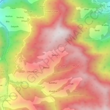
Name: Bachut topographic map, elevation, terrain.
Location: Bachut, Banjar, Kullu, Himachal Pradesh, India (31.55902 77.30366 31.59902 77.34366)
Average elevation: 2,520 m
Minimum elevation: 1,733 m
Maximum elevation: 3,015 m