
龙头村 topographic map
Interactive map
Click on the map to display elevation.
About this map
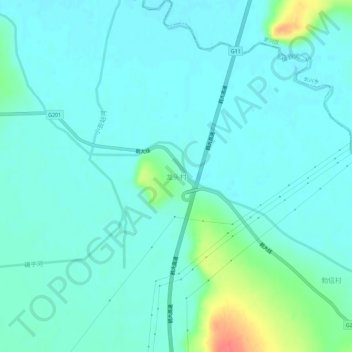
Name: 龙头村 topographic map, elevation, terrain.
Location: 龙头村, 七台河市, 黑龙江省, 中国 (45.87502 130.71914 45.91502 130.75914)
Average elevation: 158 m
Minimum elevation: 147 m
Maximum elevation: 206 m