
Langley topographic map
Interactive map
Click on the map to display elevation.
About this map
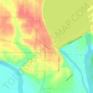
Name: Langley topographic map, elevation, terrain.
Location: Langley, Mayes County, Oklahoma, 74350, United States (36.45054 -95.07282 36.48818 -95.03673)
Average elevation: 221 m
Minimum elevation: 187 m
Maximum elevation: 255 m